Geography and landscape
Sarikamis belongs to the high plateau landscape of Kars, a region shaped by long winters, short growing seasons, volcanic geology, river valleys and broad grasslands. Altitude and continental climate influence settlement, transport, building materials, agriculture and seasonal life. The same landscape that protected medieval Ani also connected communities through mountain passes and river corridors.
Historical background
Material culture
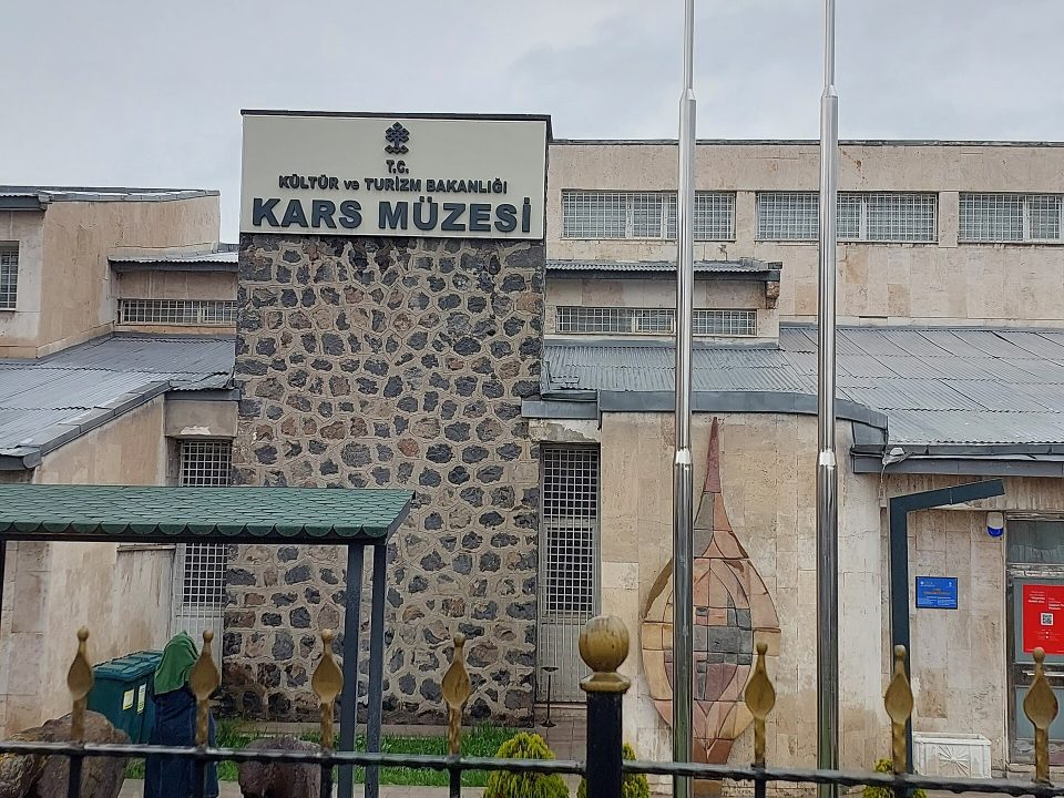
The cultural landscape of Kars is expressed through stone architecture, archaeological objects, rural production, historic routes and the adaptation of communities to climate. Dark basalt and other volcanic stones define many buildings. Timber, earth, metal and wool appear in domestic life and production. Each material carries evidence of local resources, craft knowledge and exchange with neighbouring regions.
Character of the place
The appearance of the site changes substantially with weather and season. Snow can simplify the landscape into strong silhouettes, while spring and summer reveal water, pasture and plant cover. Light, wind and temperature are therefore part of its historical as well as visual identity.
Relationship with Ani and Kars
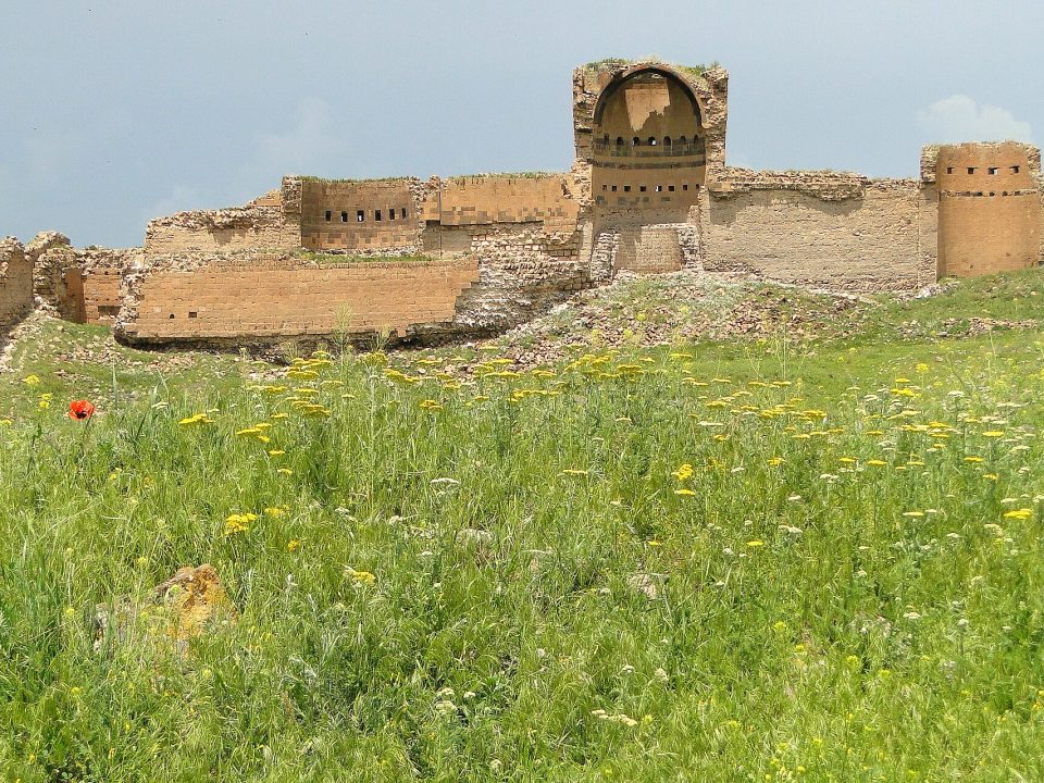
Ani explains the medieval urban power of the region, while Sarikamis reveals another part of the same geography. Together, the archaeological city, Kars centre, rural settlements, wetlands and mountain landscapes show how political borders, trade, agriculture and daily life developed across the plateau.
Nearby cultural landscape
Seasonal conditions
These changing conditions have historically influenced architecture, food storage, animal husbandry, road use and the annual rhythm of work. Seasonality is not simply a modern travel concern, but one of the forces that formed the region’s culture.
Settlement and economy
The economy around Sarikamis developed through the opportunities and limits of a high-altitude environment. Livestock, grain, dairy production, local markets, public institutions and transport each carried different weight according to place and period. Roads linked villages with Kars and with a wider frontier region. Winter isolation and seasonal abundance shaped storage, architecture and patterns of work as strongly as political history.
Architecture and local resources
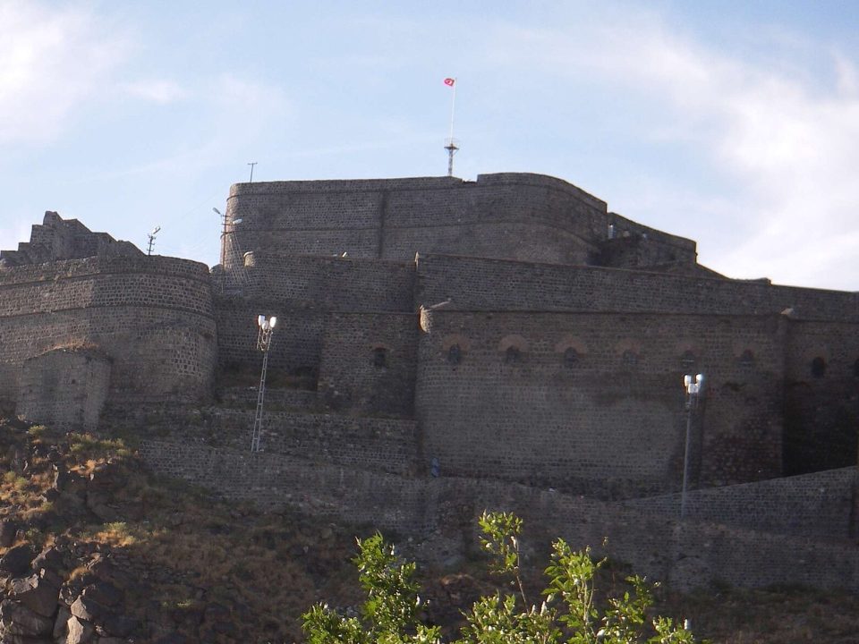
Buildings across Kars respond to available stone, timber, earth and severe temperature changes. Thick masonry, compact plans and protected openings reduced exposure, while public and military buildings used scale and position to mark authority. In rural areas, house, barn and production spaces often belonged to the same working landscape. At natural sites, paths, shore use and small structures reveal how people adapted to water, pasture and forest.
Cultural memory
Sarikamis has meanings created by different periods and communities. Archaeological remains, museum collections, food traditions, oral accounts and commemorative landscapes transmit different forms of memory. Some are fixed in stone or documents, while others survive through seasonal practice and local knowledge. Their coexistence gives the region a history that cannot be reduced to a single monument or political period.
The wider Kars region
This relationship places the destination within a network rather than an isolated point. Rivers, roads, valleys and settlements explain why cultural connections continued even when political frontiers changed. Ani is the most monumental expression of this network, but its history becomes clearer when the surrounding plateau is considered as a living cultural landscape.